Dordogne hiking: guided tours or self-guided trails?
A Dordogne walking route can look easy on the map and still punish poor preparation. The main variables are not extreme altitude or technical scrambling.
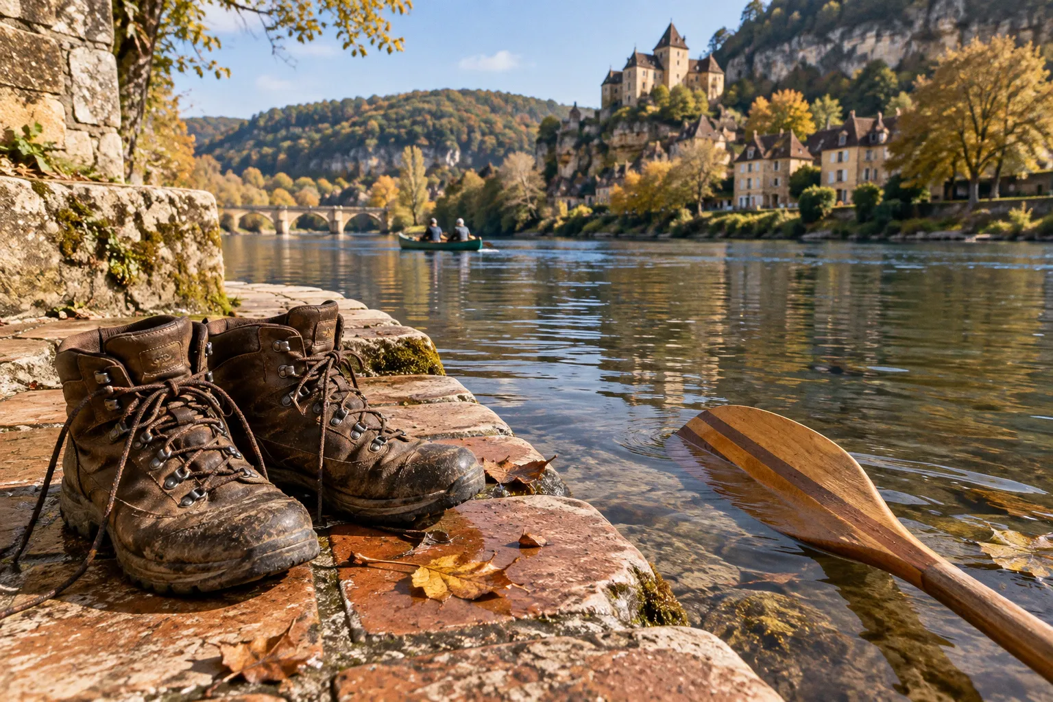
They are heat on exposed limestone plateaux, uneven descents into river valleys, long transfers between villages, and the cumulative effect of carrying the wrong gear for 20 kilometres.
The choice between guided hiking tours and self-guided trails in Dordogne comes down to control. A commercial self-guided package removes daily logistics through luggage transfers, mapped stages and emergency support. An independent trek gives you a tighter grip on pace, route changes and time spent at each château, bastide or river viewpoint. Both work. Neither forgives vague planning.
The real difference: logistics versus freedom
Most walking holidays in southwest France fall into three operating models:
1. Self-guided walking package — the route is prepared in advance, accommodation is arranged, luggage moves between stops, and you walk under your own command.
2. Guided walking tour — a local guide leads the group, manages navigation and adjusts the route according to conditions, terrain and group ability.
3. Independent day walking — you select individual trails, carry your own equipment and build the itinerary yourself from local maps, PR paths and GR routes.
The first option is often the strongest fit for travellers who want a multi-day route without hauling an overnight pack. Commercial self-guided itineraries typically cover between 12 km and 25 km per day, with three to six hours of walking. Standard grading sits around level 2 out of 5: gentle to moderate terrain rather than alpine difficulty, but the distance still accumulates across several consecutive days.
The package infrastructure does the heavy lifting behind the scenes. Expect pre-mapped stages, a detailed roadbook, 1:25,000 topographical maps or GPS tracks, luggage transport between accommodation and emergency hotline support. You still navigate the route, manage your water and control your pace. You simply avoid turning every morning into a transport problem.
Guided tours shift the pressure elsewhere. You trade route autonomy for local interpretation, group coordination and a second set of eyes on the terrain. That can be valuable when the route links several valleys, when weather changes quickly, or when the group includes walkers with different levels of confidence.
Independent day walking is the most flexible format. It also creates the most points of failure. You must choose a viable circuit, check access, calculate the return leg, carry enough water and leave enough daylight for a slow descent. A route that looks short on a map may include repeated elevation changes between a river corridor and the limestone plateau above it.
The Dordogne is not a high-mountain environment. That does not make navigation, heat management or pacing optional.
Self-guided walking packages: the efficient middle ground
A self-guided itinerary is not an unattended expedition. It is a managed route with the guide removed from the trail.
That distinction matters. You receive a structure strong enough to keep the trip moving, but you retain control over breaks, photographs, detours and the amount of time spent in each settlement. The operator normally sets the daily waypoint sequence and moves your main luggage to the next accommodation. Your field loadout stays lean: water, food, waterproof layer, navigation equipment and the items needed for the day.
The operating season commonly runs from early April through mid-October or into mid-November, depending on the provider and itinerary. Do not treat the full season as one uniform weather window. April can produce cooler, unsettled walking conditions. High summer puts more pressure on exposed sections and water planning. September is widely recommended for hiking because conditions are generally milder and the walking rhythm is easier to maintain.
A package also creates a practical safety net. If you take a wrong turn, the roadbook and GPS track give you a recovery route. If a stage becomes too demanding, the accommodation network and transfer structure may provide more options than a completely independent trip. Exact pricing varies with accommodation level, group size and inclusions, so the package should be assessed by what it removes from your workload rather than by the headline number alone.
What a typical day demands
A 12 km stage and a 25 km stage are not the same product. Before committing, identify where the route places its friction:
- Distance: Three hours of moving time can become five or six hours once you add lunch, navigation checks, photo stops and delays.
- Surface: Limestone paths, woodland tracks and village lanes create different demands on footwear and ankle stability.
- Elevation: A gentle overall grading can still include repeated ascents from a river valley to a plateau.
- Exit points: Check whether you can shorten the stage or reach a road if heat, injury or fatigue changes the plan.
- Accommodation transfer: Confirm what luggage is moved, when it must be ready and what remains in your day pack.
- Navigation format: Carry the paper map even when the GPS track is available. Batteries fail; route memory is unreliable.
The best self-guided packages create momentum without pretending that the terrain is automatic. They give you the route, not the ability to ignore it.
Navigating Dordogne footpaths independently
The Dordogne has a substantial network of marked local paths known as PR routes, alongside longer-distance GR routes. These markings make independent walking realistic across many parts of the region. They do not eliminate the need for route discipline.
Your first task is to establish the route hierarchy. A short local loop near a village is a different navigation problem from a multi-day line through the Périgord Noir or Vézère Valley. Local paths may connect woodland, farms, limestone ridges and river settlements without following the most obvious road or valley floor. A GR section may carry you efficiently between larger waypoints but still require careful attention where paths branch near settlements or historic sites.
Use three navigation layers:
1. The planned line: Your roadbook, printed map or downloaded track establishes the intended route.
2. The terrain confirmation: Path signs, painted markers, gates, junctions and the actual direction of the land confirm that you are still on course.
3. The timing check: Your distance, estimated arrival time and remaining daylight expose mistakes before they become emergencies.
Do not navigate by phone battery alone. Download the route before leaving accommodation, carry a power bank and keep a physical map accessible. A waterproof map case earns its place in the gear loadout when weather moves across exposed sections.
Independent walking also requires a firm turnaround rule. If the route becomes unclear and you cannot resolve the junction quickly, stop moving forward. Backtrack to the last confirmed waypoint. Continuing on a vague bearing creates compound error: every later turn becomes harder to verify, and the return distance expands.
For travellers basing themselves near Sarlat, the strongest approach is to treat the town as a launch point rather than assume every nearby trail is interchangeable. The best hiking trails near Sarlat vary in length, surface and access to villages. A short morning loop gives you an easy recovery option. A full-day route through the wider valley requires food, water and a fixed return plan.
That is where a curated base becomes useful. Stay close to your chosen trail network, return to a comfortable gîte, and use the pool for recovery rather than forcing another activity onto tired legs. Poolside leisure is not a substitute for route planning; it is the recovery phase that keeps the next day viable.
Terrain and pacing across the limestone causses
The Dordogne’s walking terrain is defined by transitions. Expect woodland, limestone plateau, river valley and built-up historic settlement to arrive in sequence. The surface changes underfoot, and your pacing must change with it.
Forest sections
Oak and chestnut forests provide shade, but they can also conceal junctions and soften the visual cues that make navigation easy. Maintain a waypoint rhythm. Check the map at every significant fork rather than waiting until the path no longer looks familiar.
Woodland ground can be uneven after rain. Roots, loose stones and shallow ruts create a steady ankle workload. Use poles if they are already part of your normal equipment, especially on repeated descents.
Limestone plateaux
The causses expose the route to sun and wind. On a warm day, the plateau can become the stage where a poorly paced morning turns into a late-afternoon problem. Start with controlled output. Do not burn energy on the first ascent because the gradient appears modest.
Water management becomes decisive on exposed ground. Fill at confirmed points, not at a hoped-for café or village that may sit away from the route. Carry enough for the entire stage when the itinerary does not guarantee regular resupply.
River valleys
Valley sections may feel easier because the gradient relaxes. That is where walkers often accelerate too early. A river corridor can be followed by a sharp climb toward a bastide, château or plateau track. Protect your legs for the next ascent.
The current flow of the Dordogne and its tributaries matters to canoeists, but hikers should read the river as a route-planning variable: valley humidity, shaded surfaces, muddy edges and bridges can all change the walking rhythm. Do not assume that a flat-looking section will deliver a flat day.
Historic towns and village approaches
Autoire, Loubressac, Carennac, Domme and La Roque-Gageac are among the recognised Most Beautiful Villages of France encountered on Dordogne and Lot walking itineraries. They are not simply rest stops. Their approaches can involve steep lanes, steps, exposed viewpoints and crowded sections during the busier season.
Set a clear objective before entering a town. Are you stopping for food, visiting a site, filling water or continuing to the next waypoint? Without a decision, a short break expands and the final kilometres become a race against daylight.
Guided tours versus self-guided trails in Dordogne
The comparison is clearer when the decision is tied to the job you need the trip to perform.
| Factor | Guided hiking tour | Self-guided package or independent trail |
|---|---|---|
| Navigation | Managed by a local guide or tour leader | Managed by the walker using maps, roadbooks or GPS tracks |
| Daily pace | Set by the group, with some adjustment | Controlled by you, within the stage and daylight limits |
| Luggage | Depends on the operator and tour format | Luggage transfer is standard in commercial self-guided packages |
| Route changes | Guide can respond to conditions and group ability | You must reroute, shorten or turn back |
| Local context | Guide provides interpretation during the route | Research and site visits are self-managed |
| Social format | Shared with the scheduled group | Private or small-group flexibility |
| Best fit | Travellers who want oversight and local leadership | Walkers who want autonomy without carrying full luggage |
| Main friction point | Group pace and fixed schedule | Navigation, timing and self-rescue decisions |
Choose a guided tour if the walking itself is only one part of the objective and you want the route interpreted as you move. This format can also reduce cognitive load when the itinerary crosses unfamiliar terrain or when a group contains mixed experience.
Choose a self-guided package if you can navigate competently but do not want to organise luggage, accommodation transfers and daily route research. It is the cleanest compromise for walkers who want independence without logistical drag.
Choose independent day walks if your priority is flexibility. Build around weather and energy. Walk one section near Sarlat, switch to a river-valley route the next day, or reserve a lighter day for a château and local meal. You will gain control, but you must accept full responsibility for the route architecture.
Cultural waypoints: fortresses, bastides and prehistoric sites
A Dordogne hike should not be planned as a distance challenge alone. The route network passes through a dense cultural field, and the strongest itineraries use those sites as deliberate waypoints.
In the Périgord Noir and Vézère Valley, walking routes can connect medieval fortresses such as Château de Castelnaud with prehistoric heritage sites, including Lascaux IV in Montignac. These destinations require time allocation. A fortress visit is not a ten-minute roadside pause, and a prehistoric site may operate on timed entry or require a transfer from the walking route.
Build cultural stops into the stage plan before departure:
- Fix the arrival window for any site with scheduled access.
- Reduce the walking distance if the visit is a primary objective.
- Carry food that can be eaten without extending the stop beyond the planned window.
- Confirm the final transport or walking connection after the visit.
- Keep one alternate route available if a site visit, heat delay or wrong turn compresses the day.
This is where guided and self-guided formats diverge sharply. A guide may integrate the site into the movement plan and explain what you are seeing as part of the route. A self-guided walker must separate the cultural objective from the navigation objective and make sure one does not compromise the other.
Seasonal deployment: when to walk and how to adjust
Early spring and autumn offer the most manageable operating conditions for many walkers, with September widely regarded as a strong month for Dordogne hiking. Still, the route does not know your preferred calendar. Adjust the deployment.
Spring
Set a conservative pace on damp ground. Expect woodland sections and shaded descents to hold moisture after rain. Waterproof layers and secure footwear take priority over lightweight comfort.
Summer
Move early. Protect the exposed ascent. Reduce the day pack to essentials, but do not reduce water below what the route demands. Schedule the longest open sections before the heat peaks, then use shaded or village sections later in the day.
September and early autumn
Use the milder conditions to extend the walking day only if the terrain and daylight support it. Do not convert comfortable temperatures into unnecessary distance. A steady 15 km stage with time for a site visit may deliver more than a rushed 25 km push.
Later autumn
Check the operating window of commercial walking providers and accommodation before committing. Shorter daylight and changing weather increase the cost of navigation errors. Keep the route close to reliable access points and avoid assuming every seasonal service remains open.
The final decision
For most travellers, the strongest option is not a pure contest between guided and independent walking. It is a question of where you want the responsibility to sit.
A guided tour places route judgement, local interpretation and group movement with another person. A self-guided package places the route in your hands while removing luggage transfers and much of the administrative friction. Independent walking gives maximum freedom, but every navigation, timing and recovery decision belongs to you.
Use a guided format when oversight is the priority. Use a self-guided package when autonomy and logistics need to coexist. Use independent day walks when weather, sightseeing and recovery matter more than completing a fixed multi-day line.
Before departure, run the gear loadout as a mandatory check:
- broken-in walking shoes with reliable grip;
- day pack adjusted before the first ascent;
- water capacity matched to the route and resupply points;
- waterproof layer, even in a stable forecast;
- paper map or roadbook in a protective case;
- fully charged phone with offline maps;
- power bank and charging cable;
- food for the full stage, not only the planned lunch stop;
- basic first-aid supplies and blister treatment;
- sun protection for exposed limestone sections;
- emergency contact details and accommodation information.
Then confirm the first waypoint, the final recovery point and the latest safe turnaround time. The Dordogne rewards walkers who keep moving with discipline. Choose your format, set your route, respect the terrain and make every kilometre part of the plan.