Navigating Saint-Cirq-Lapopie: A Cliffside Medieval Village Guide
According to Journée Mondiale, that elevation was a defensive specification, not an aesthetic one, and it still governs how visitors move through the medieval core today.
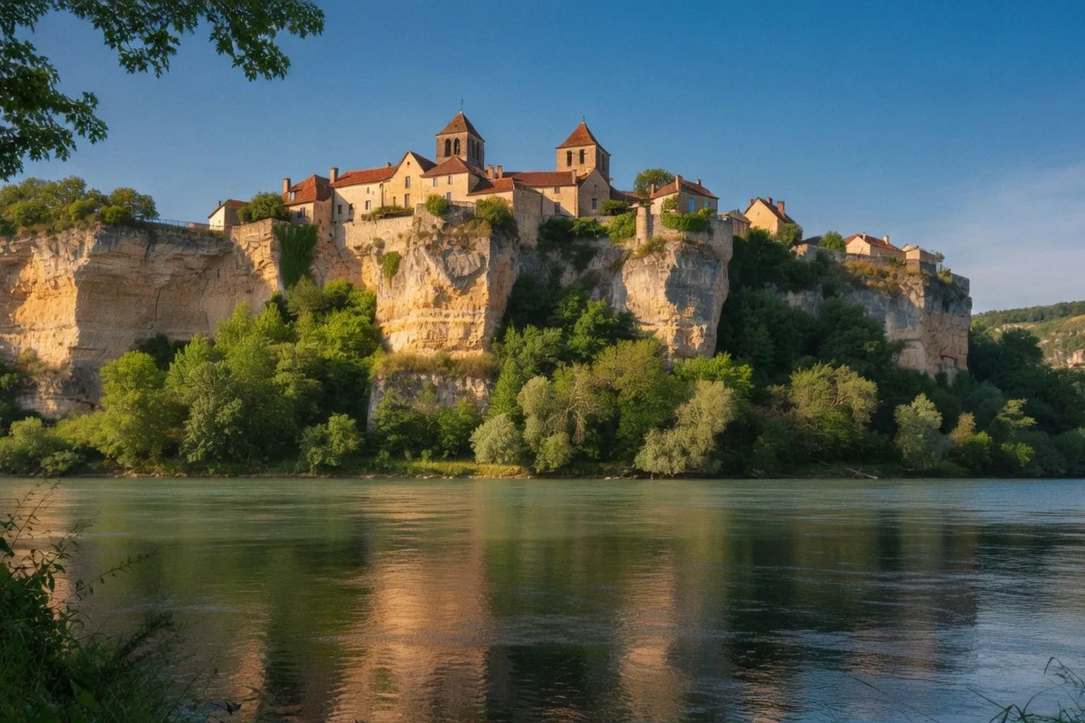
Saint-Cirq-Lapopie sits 328 feet (roughly 100 metres) above the Lot River inside the Parc naturel régional des Causses du Quercy — a cliff-side settlement about 18.6 miles east of Cahors. According to Journée Mondiale, that elevation was a defensive specification, not an aesthetic one, and it still governs how visitors move through the medieval core today. For any gite guest mapping a week in southwest France, the village is a logistical problem dressed as a postcard.
The Site Spec
The village holds roughly 200 permanent residents across a compact, pedestrian-heavy footprint. Thirteen protected historic monuments sit inside the perimeter — an unusual monument density for a settlement this size. Brown-tiled roofs stack above timber-framed facades; cobbled lanes run at gradients that exclude routine vehicle access. Footfall reaches an estimated 400,000 visitors annually, per a 2012 report compiled the same year the village took the title of "France's Favorite Village." That visitor pressure is the single biggest variable for any itinerary in the Lot or eastern Dordogne — and it determines whether the climb is enjoyable or simply congested.
Logistical Constraints
The upper lanes are not negotiable for most vehicles. Park below the historic core and continue on foot; the lower approach road is the practical boundary, and anything beyond requires walking. The gradient from there to the highest point near the former castle remains is continuous. Saint-Cirq-et-Sainte-Juliette Church, begun in the Romanesque period and later altered in Gothic style, sits near the old defensive line. The Rignault Museum occupies a former residence in the upper village and adds an artistic thread — André Breton was among the writers drawn here — though the stone lanes carry the visit on their own merits.
Visitor Checklist
- Timing: avoid the 10:00–16:00 window. Footfall peaks in late morning and holds until 4 p.m. Before 10 a.m. or after 5 p.m. gives measurable breathing room on the narrowest sections.
- Footwear: closed, non-slip soles. The cobbles are steep, polished, and uneven. Anything with a smooth sole is a liability on the gradient.
- Parking: below the village. The historic core is closed to routine traffic by width and gradient; forcing an arrival defeats the village's best quality.
- Mobility: accessibility is limited beyond Place du Sombral. Wheelchair and stroller users will find the upper lanes effectively impassable.
- Pairing: the Bouziès towpath along the Lot makes the cliff scale measurable. Above, the village looks commanding. From the riverbank, that commanding height becomes a number, not a photo.
Verdict
Worth the detour for any gite guest staying within roughly an hour's drive. The setting justifies the climb and the narrow lanes. Time it poorly and the footfall alone makes the medieval core feel smaller than its dimensions — a measurement error worth planning around. Two to three hours covers the upper lanes; half a day if the Bouziès towpath is included.